
Walk a Port Orange Street
A sound Port Orange street directory search separates ownership from occupancy. The Volusia County Property Appraiser search ties a street address to the assessed owner, parcel key, legal description, values, exemptions, and sales. It does not list each person who lives there. Voter data and historical directories can add evidence of residence, but protected addresses and unregistered residents will not appear. Use this order so that each later search begins with an official identifier.
- Enter the street number and name in VCPA. Copy the Short Parcel, AltKey, owner, situs address, and legal description exactly.
- Open the county GIS map. Browse the surrounding parcels rather than trusting house-number order around canals, curves, and flag lots.
- Compare the situs and owner mailing addresses. A match supports owner occupancy, while a homestead flag is useful evidence but not a household roster.
- Use the sale instrument or present owner's name in the Volusia Clerk index. Confirm the legal description before accepting a deed as the same property.
- For occupancy rather than title, consult lawful voter information and verified reverse directories. Treat every person-to-address link as dated evidence.
This street-by-street order also prevents a common error: following a similar name into the wrong subdivision. Parcel and instrument identifiers are more precise than a surname. If the goal is one individual rather than a whole address, the Port Orange resident lookup uses a different record chain.
Search Port Orange by Street
VCPA's Advanced search can return a bounded Port Orange street without a house number. It appraises more than 350,000 parcels countywide each year, so narrow broad street names with situs city, ZIP, millage group, subdivision, or neighborhood code. Results can switch between a list and map, and selected parcels can be exported to Excel or a mailing-list report. The inspected portal displayed AltKey, Short Parcel, Owner Name, Site Address, City, and property-class code.
| VCPA field | Use in a street search | Key caution |
|---|---|---|
| Situs street number/name/type | Find one parcel or a whole named street | Situs means the physical site |
| Situs city and ZIP | Narrow duplicate street names | Postal city may differ from city limits |
| Owner/business name | Reverse an owner into parcels | Owner is not always occupant |
| Mailing address fields | Locate assessment correspondence | Mail destination does not prove residence |
| Subdivision, block, lot | Anchor the parcel within a plat | Copy the official values exactly |
| Sale date and instrument | Bridge into recorded deeds | Validate the legal description |
Owner searches use the form LastName FirstName without punctuation, and an asterisk can act as a wildcard. The portal also offers parcel, land, building, sales, and owner tabs. These fields make the official roll much more useful than a simple address result.
Port Orange Situs Versus Mailing
A situs address is the parcel's physical location. The mailing address is where the Property Appraiser sends assessment correspondence. They may match, but a mailing address can also be a post office box, another local property, or an out-of-area destination. A homestead exemption is a strong clue that an owner claims the property as a primary home, yet it still does not identify every resident.
- Parcel
- A mapped unit of land with its own county identifiers.
- Situs address
- The physical address assigned to the parcel.
- Plat
- A recorded map that divides land into lots, blocks, streets, and easements.
- Criss-cross directory
- A directory arranged by street and house number rather than by surname.
Keep roles distinct in notes: assessed owner, mailing recipient, deed party, permit applicant, and occupant can be five different people. Port Orange address research is strongest when two independent dated sources support the same role.
Map Port Orange Street Parcels
The Volusia GRM interactive map accepts an address, parcel number, or street and displays zoning and future-land-use layers. Start from the VCPA parcel key, open the mapped parcel, then inspect the parcels that actually share an edge. Number sequence alone fails on cul-de-sacs, canals, rights-of-way, and flag lots.
The map screenshot below shows the official address and parcel source assigned to this street directory.
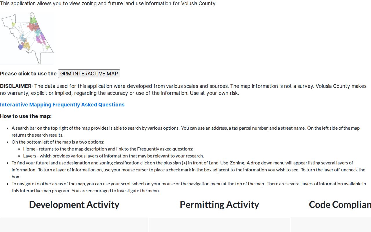
Transfer the parcel identifier back to the official card for ownership details. GIS boundaries are informational and are not a legal survey.
Fix Port Orange Address Changes
The parcel legal description is a better continuity key than a street number. It survives many mailing-label, municipal-boundary, and address changes. Port Orange's history adds several search names: Orange Port, Freemanville, Dunlawton, and wider Halifax or Daytona-area descriptions. Harbor Oaks and Allandale were absorbed from unincorporated Volusia County, so an older permit or code file may remain with the county even when the current address is inside Port Orange.
The City's boundary sketch records revisions in 1997, 2003, 2006, and 2010. For an edge parcel, compare the record date with the annexation history. Search the former custodian first for work done before annexation, then the City for later work. No authoritative citywide street-renumbering year was found, so none should be assumed.
Note: Legal descriptions and record dates solve more false dead ends than trying nearby house numbers at random.
Trace Port Orange Street Deeds
The Volusia County Clerk Official Records index searches names, instrument numbers, book and page, and an advanced mode. Start with the present VCPA owner as grantee on an acquisition deed. Check the legal description, then search that deed's grantor as a grantee during an earlier period. Repeat only while each instrument matches the parcel.
Online released records and images begin April 4, 1988. Browser printing is free. A Clerk copy costs $1 per page, with $2 per document for certification. For older street research, the DeLand Public Research area has microfilm and digital media reaching 1887. Original books require the Historical Records room, where an appointment is recommended. Staff can explain equipment but cannot conduct a title or lien search.
Access is also available by mail and through a Recording contact request. These choices matter when an online image is absent or a certified copy is needed.
Read Port Orange Permit History
City permit files can connect an address with an owner, applicant, contractor, project, valuation, dates, and inspection status. The Port Orange permit page routes readers to online application services, while Community Development answers permit and inspection questions at 386-506-5602. A contractor or applicant is not necessarily a resident.
The assigned image captures the City's public permit and parcel system.
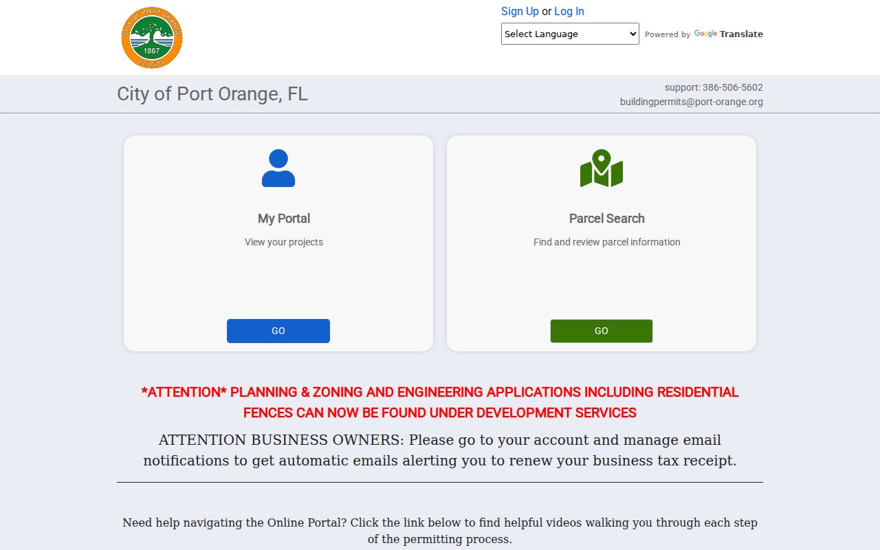
For pre-digital or missing files, request the address and date range from Community Development or the City Clerk. Requests may be made in person, by phone, email, PDF form, or JustFOIA. Florida law does not require a special form or a statement of purpose.
Port Orange Street Record Coverage
No single Port Orange street directory is complete. The official address-keyed sources below complement one another. Keep source dates and roles with each result.
| Record Set | Keeper | What It Shows | Access |
|---|---|---|---|
| Property roll | Volusia Property Appraiser | Assessed owner, situs, mailing address, parcel, exemption | Free search, map, export |
| GIS parcel map | Volusia County GRM | Adjacent parcels, zoning, future land use | Free viewer |
| Deeds and liens | Volusia County Clerk | Indexed parties, transfers, legal descriptions | Online from 1988; DeLand media from 1887 |
| Voter record | Supervisor of Elections | Lawfully public registration fields | Protected data withheld |
| Building permits | Port Orange Community Development | Applications, work, dates, inspections | Portal, phone, Clerk request |
The parcel number and legal description join the property, deed, plat, and permit layers. A street name can organize the results, but it is less stable. Voter records contain some public fields, while signatures, Social Security numbers, driver-license or state-ID numbers, and protected addresses are withheld under Florida law.
Port Orange Reverse Directory Gaps
A reverse or criss-cross directory can turn an address into the printed occupant for a given edition. Volusia County Public Library provides Ancestry Library Edition in a branch and HeritageQuest through library access, but no official finding aid located in the research lists exact Port Orange reverse-directory years. Call Port Orange Regional Library at 386-322-5152 before planning a shelf visit.
When a volume exists, photograph its title page and abbreviation key. Search the precise address, then inspect nearby entries. Publication geography can matter: Port Orange may sit within a Daytona or Halifax-area volume rather than under a standalone title. For a deeper treatment of those shelves, use the Port Orange Directory Book.
Verify Port Orange Jurisdiction
A Port Orange mailing label is not proof that City Hall keeps the permit file. The official city ZIP map shows seven surrounding or intersecting ZIP labels, while only three are core standard Port Orange postal ZIPs. Use USPS to confirm delivery, VCPA to confirm situs and taxing city, and GIS to check the boundary. Then select city or county permitting.
The City's permit guidance specifically directs applicants to VCPA for jurisdiction checks. This step is vital around annexed areas and the city edge. Town Center's Riverwalk, Causeway, Down Under, Dunlawton Village, and Ridgewood Avenue districts are planning labels, not proof of postal or legal jurisdiction.
Limits of Port Orange Street Records
A Port Orange street directory cannot provide a complete household roster. Property cards identify assessed ownership, not all occupants. Renters, children, unregistered voters, and household relationships may be absent. Driver address data is restricted, utility customer details may be protected, and voter confidentiality programs deliberately remove some addresses. A missing name is not proof that the person never lived there.
Dates matter as much as names. A deed shows parties to a transfer, a permit names project roles, and an assessment card reflects a tax roll. None proves who was physically present on every day. Use public records for family research, property history, civic questions, or other lawful personal purposes, and verify material facts with the custodian.
Even the map needs context. House-number order can fail on cul-de-sacs, flag lots, canals, divided roads, and parcels reached by easements. Use the GIS boundary to decide which lots actually touch, then open each official parcel card. If a Port Orange mailing address falls beyond the municipal line, check Volusia County permit and code sources before asking the city. Annexed land may require both custodians, divided by the date of the record.
Lawful use. Port Orange address records are for lawful personal research. Never use them to stalk, harass, intimidate, or harm a person.