
Port Orange Neighbor Record Sources
A block lookup answers several narrow questions. County GIS shows physical proximity. The tax roll names assessed owners. Deeds explain transfers and easements, while permits date work at an address. Florida voter data is governed by public and exempt fields, not offered as an unrestricted block roster. Community programs support voluntary contact but do not publish every household.
| Source | What it shows about a block | Access |
|---|---|---|
| VCPA list-map | Parcel sequence, owner, situs, mailing address and legal description | Free current roll; owner may not occupy |
| Volusia GIS / GRM | Parcel adjacency, zoning, land use, flood and voting geography | Free interactive map; not a survey |
| Clerk Official Records | Transfers, easements, liens, plats and association instruments | Web from April 4, 1988; DeLand media from 1887 |
| Florida voter information | Registration evidence and districts with statutory redactions | Individual verification is not a block directory |
| Port Orange SmartGov | Permit applications, issued permits and inspections | Applicant may not be a resident |
| Neighborhood Watch | Coordinator and block-captain structure | No public participant roster |
Read each source at its actual scope. A parcel map describes land. It cannot establish renters, relatives, or private household ties.
Map Port Orange Neighbors Carefully
Open the Volusia County GRM interactive map and search the subject address. Confirm the city and parcel identity in the result panel. Zoom until the surrounding parcel lines are clear. No official help page confirmed an automated buffer or radius tool, so use click-adjacent map browsing.
- Locate one address and copy its parcel identifier.
- Inspect each touching or clearly nearby parcel on the map.
- Transfer each address or parcel key to the official VCPA card.
- Record owner, situs, mailing address, and exemption evidence in separate fields.
- Stop at a defined block face or intersection instead of expanding without limit.
Cul-de-sacs, canals, rights-of-way, corner lots, and flag lots can make consecutive numbers poor tests of adjacency. For a full named-road chain, use the Port Orange Street Directory.
Read Port Orange Parcel Results
The VCPA Advanced Search separates the situs street fields from owner mailing fields. Results expose AltKey, Short Parcel, owner name, site address, city, and property-class code. Detail tabs cover parcel, owner, land, building, and sales data. A bounded result can move into View List-Map and can be exported to Excel or a mailing-list report.
Situs means the land's physical address. Mailing is where assessment correspondence goes. Homestead is an exemption flag. When all three align, they support owner occupancy, but still do not prove every member of a Port Orange household. A different mailing address may mean a nonresident owner, a trust, or another arrangement. Do not guess.
- Parcel
- A mapped unit of land tied to a county assessment identifier.
- Plat
- A recorded map defining lots, blocks, roads, and other subdivision features.
- Homestead
- An exemption indicator that can support, but does not alone prove, owner occupancy.
Note: The appraisal roll identifies owners, not a complete list of Port Orange neighbors living on the block.
Explain Port Orange Block Shapes
Nearby deeds and plats add context when the map looks odd. Search the Volusia Clerk Official Records for the parcel's owner or an exact instrument cited by VCPA. A plat can define the subdivision and lot. Easements may account for shared drives, drainage, or access. A recorded transfer explains ownership change, not who moved into the home.
The web index and released images begin April 4, 1988. Earlier records continue on DeLand public-research media back to 1887. The legal description provides the cleanest bridge between a parcel card and recorded document. Staff may explain equipment but cannot perform a title or lien search.
Port Orange municipal limits have changed through annexation. Harbor Oaks and Allandale once had unincorporated county contexts. Confirm the custodian and jurisdiction on the date of a permit or code matter instead of relying only on today's postal city.
Port Orange Voter Data Limits
The Volusia County Supervisor of Elections and Florida registration system separate self-lookup from public-record products. The self-service tool verifies one voter using identity factors. It is not an open list of every registered person on a Port Orange block. Florida law withholds signatures, Social Security numbers, driver-license or state-ID numbers, and protected-address information.
Monthly statewide extracts contain active and inactive registrations with statutory redactions, but access and use must respect the public and confidential split in Florida Statutes sections 97.0585 and 119.071. A missing name or address does not show that a home is vacant. The person may not be registered there, may be protected by an exemption, or may fall outside the search used.
Use voter information only as one lawful point of confirmation. Parcel ownership, voter registration, and physical occupancy are three different facts.
Meet Port Orange Neighbors Voluntarily
The Port Orange Neighborhood Watch program uses volunteer coordinators, block captains, and block watchers. Coordinators recruit and liaise with police. Captains visit homes, apartments, and businesses, hold meetings, and distribute material. The structure supports consensual civic contact, not a public participant or household directory. The Crime Prevention Office can provide current program information at 386-506-5885.
The official program page is shown below.
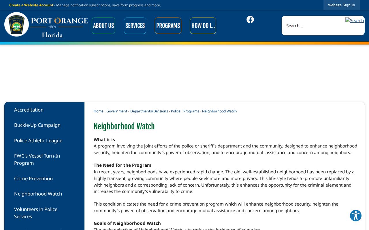
The city page confirms the coordinator and block-captain framework while leaving participant identities private.
Community use. A good neighbors workflow verifies parcel context and opens voluntary contact. It does not compile private household profiles.
Port Orange Civic Block Layers
Port Orange describes roughly 150 distinct neighborhoods, but no authoritative citywide HOA or member directory was found. Start with the parcel legal description and subdivision field. Search that association or subdivision in Clerk records for declarations and amendments, then confirm an incorporated entity through Florida's official Sunbiz records. A registered-agent address is a service contact, not proof that an officer lives nearby.
| Civic layer | Verified role |
|---|---|
| Neighborhood Watch | Public program structure, no participant roster |
| Town Center CRA | Five named civic districts and public board materials |
| City boards | Public appointee and meeting records, not occupancy |
| Recorded HOA declarations | Legal association name and covered property at filing |
| VCPA subdivision field | Parcels sharing a platted label, not membership |
Association documents can age. Verify an entity and use its own current public contact channel when one exists.
Town Center Port Orange Neighbors
The Port Orange Town Center Community Redevelopment District provides a distinct civic geography. Created in 1998, it covers 300 parcels and 271 acres. The city divides it into Riverwalk, Causeway, Down Under, Dunlawton Village, and Ridgewood Avenue. These labels help locate board agendas, plans, and public projects around an address.
They are not household directory labels and may not match older deeds or reverse directories. Use the parcel's legal description to bridge a current civic district to the recorded subdivision and owner trail. Public board and commission material can identify formal civic representatives, but those names reflect service, not neighborhood occupancy.
This is a useful Port Orange geography lesson. A block can belong at once to a postal area, subdivision, tax district, redevelopment district, and voting precinct. Each answers a different records question.
Official Port Orange Neighbor Evidence
Official rolls and commercial neighbor tools are not equal. County sources disclose their field definitions, custodian, and limits. Commercial products may blend public and purchased data, lag moves, and confuse an owner's mailing address with an occupant. They also tend to turn a defined block question into an unlimited radius list.
| Point | Official public source | Commercial category |
|---|---|---|
| Origin | Named custodian and record purpose | Mixed sources may be unclear |
| Geography | Mapped parcel or defined district | Distance estimate or postal match |
| Freshness | Roll or filing dates can be checked | Update timing may be unknown |
| Correction | Originating office has a process | Separate vendor process |
Use the official map for adjacency and the official parcel card for assessed ownership. Confirm any claim about who lives there with an independent, lawful source.
Port Orange Block Safety Records
Neighborhood curiosity is different from a police-record request. Port Orange Police provides an official reports route for incidents that qualify for release. The Port Orange report page is the right source, while emergency or active safety concerns belong with the proper emergency channel.
The official access page appears below.
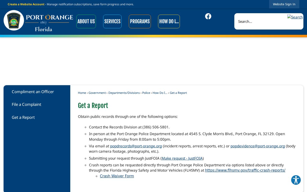
The captured page keeps a report request tied to the police custodian rather than rumor or an unverified block list.
Protect Port Orange Neighbor Privacy
Public block records do not disclose every renter, child, family relationship, utility account, delivery record, or voluntary association member. Florida's Address Confidentiality Program and occupation or victim-based exemptions can shield addresses. Sealed court records and other restricted data stay closed.
Define the purpose and stop when the record answers it. A property-line question needs a map and perhaps a survey, not a household profile. A civic question can go to a public meeting or voluntary program. An inaccurate official field should be challenged with the originating custodian.
Lawful use. Use Port Orange neighbors records for parcel context, civic connection, and personal safety. Never watch, intimidate, harass, or harm another person.