
Port Orange ZIP Coverage
Three standard ZIP codes form the everyday Port Orange postal answer. A fourth serves PO boxes. The city's official GIS map also labels four neighboring or fringe ZIP areas around or across its broader boundary context. Those extra labels matter when an address looks local but its postal city, taxing city, and permit office do not agree.
| ZIP | Areas Covered | Post Office or Check | Notes |
|---|---|---|---|
| 32123 | Port Orange PO boxes | USPS lookup | PO-box-only, not a residential parcel area |
| 32127 | East and southeast, US 1, Ridgewood, Halifax River, Dunlawton | Port Orange Post Office, 725 Dunlawton Ave.; Allandale station, 201 Commonwealth Blvd. | Also associated with Ponce Inlet and Wilbur-by-the-Sea postal areas |
| 32128 | West Port Orange, Airport Road, Spruce Creek, west of I-95 | USPS address lookup | Broad western development |
| 32129 | Central and north, City Center, Clyde Morris, Nova | USPS address lookup | City Hall and Police use this ZIP |
| 32119 | Daytona Beach and South Daytona postal area at north edge | USPS lookup | Map context, not a Port Orange-named ZIP |
| 32118 | Daytona Beach beachside area near northeast | USPS lookup | Verify jurisdiction address by address |
| 32114 | Daytona Beach postal area north of city | USPS lookup | Fringe and context label |
| 32168 | New Smyrna Beach postal area at south and west edge | USPS lookup | Edge geography includes nearby preserve facilities |
Do not count every address in all seven mapped labels as a Port Orange resident. Lead with 32127, 32128, and 32129 for standard addresses, then test the parcel against city geography. Keep 32123 apart because a post-office box cannot locate a residence.
Three Core Port Orange ZIPs
ZIP 32127 covers much of eastern and southeastern Port Orange. Its useful anchors include US 1 and Ridgewood Avenue, the Halifax River side of the city, and the Dunlawton corridor. Postal coverage extends beyond a neat municipal shape, so a familiar Port Orange mailing label does not settle city jurisdiction.
ZIP 32128 reaches west through the Airport Road and Spruce Creek area and development beyond I-95. The street pattern is more spread out than the historic eastern grid. ZIP 32129 covers central and northern areas around City Center, Clyde Morris Boulevard, and Nova Road. Public civic addresses help confirm this central postal zone, but they do not define its exact boundary.
These descriptions are orientation aids. USPS decides the deliverable postal code for one address. VCPA and GIS decide the parcel and government geography.
Why Port Orange 32123 Differs
ZIP 32123 serves Port Orange PO boxes. It is useful for locating a mailing destination, but it does not describe a set of residential parcels. Searching a property roll by this code as if it were a neighborhood can produce the wrong conclusion because an owner's mail may go to a box while the physical parcel has another ZIP.
Always preserve both fields when they appear. The situs address is the physical location used by parcel, permit, inspection, and emergency-response systems. The owner mailing address is where assessment correspondence goes. Either can contain a ZIP, and they answer different questions.
Seven ZIP Labels Around Port Orange
The official Port Orange ZIP map overlays postal areas and the municipal boundary. It labels 32114, 32118, 32119, 32127, 32128, 32129, and 32168. The contrast between seven map labels and three core standard Port Orange ZIPs is the city's key geographic quirk.
Nearby Daytona Beach, South Daytona, beachside, and New Smyrna Beach postal areas touch the city's context. A small edge inside Port Orange may carry another postal identity, while a Port Orange mailing name may sit outside incorporation. This is normal because ZIP codes route mail rather than assign local government.
Note: The research found no official dated Port Orange ZIP split or per-ZIP voter count, so neither should be inferred.
Search Port Orange Parcels by ZIP
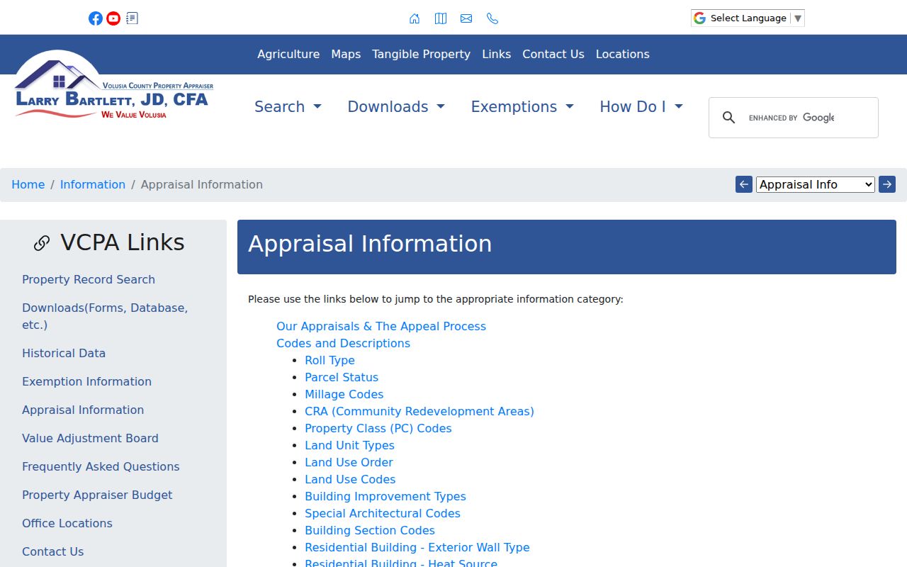
The VCPA Classic Real Property Search accepts ZIP alongside city, owner, street, parcel, subdivision, property class, and millage. A ZIP-only query can be broad. Combine fields so the result set has a defensible geographic scope.
| Field | Type | Required | Use |
|---|---|---|---|
| ZIP | Text | No | Start or narrow a postal-area parcel search |
| City | Text/select | No | Reduce results labeled Port Orange |
| Millage group | Select | No | Test taxing geography rather than postal identity |
| Street name/number | Text | No | Narrow a broad ZIP to an address set |
| Subdivision, block, lot | Text | No | Use platted geography inside a ZIP |
Results expose AltKey, short parcel, owner name, site address, city, and property-class code. Selected records can switch from list to map or export to Excel and a mailing list. These tools are unusually helpful for a bounded ZIP project, but the roll lists assessed owners, not every occupant.
The VCPA appraisal and millage guidance explains the property context behind the search.
Find Port Orange Residents by ZIP
A ZIP code directory can narrow official owner or voter data, but no source creates a full household roll. Use a short workflow and state what each result includes.
- Confirm the complete mailing ZIP for a known address with USPS.
- Enter the ZIP in VCPA, then add Port Orange city or millage criteria to reduce edge parcels.
- Switch the bounded result to map view and inspect parcels near the city line.
- For lawful public voter research, request Florida's monthly extract and filter Volusia residence ZIP fields; do not misuse the self-check portal.
- Once the result reaches a street, use the Port Orange street directory for address-level work.
The Florida self-lookup requires exact first name, last name, birth date, and acknowledgment. It is for a voter to check their own registration and cannot return a ZIP-wide list. The statewide extract arrives on disk through a written request and omits protected fields. It includes registered voters only.
Port Orange Postal Versus City Limits
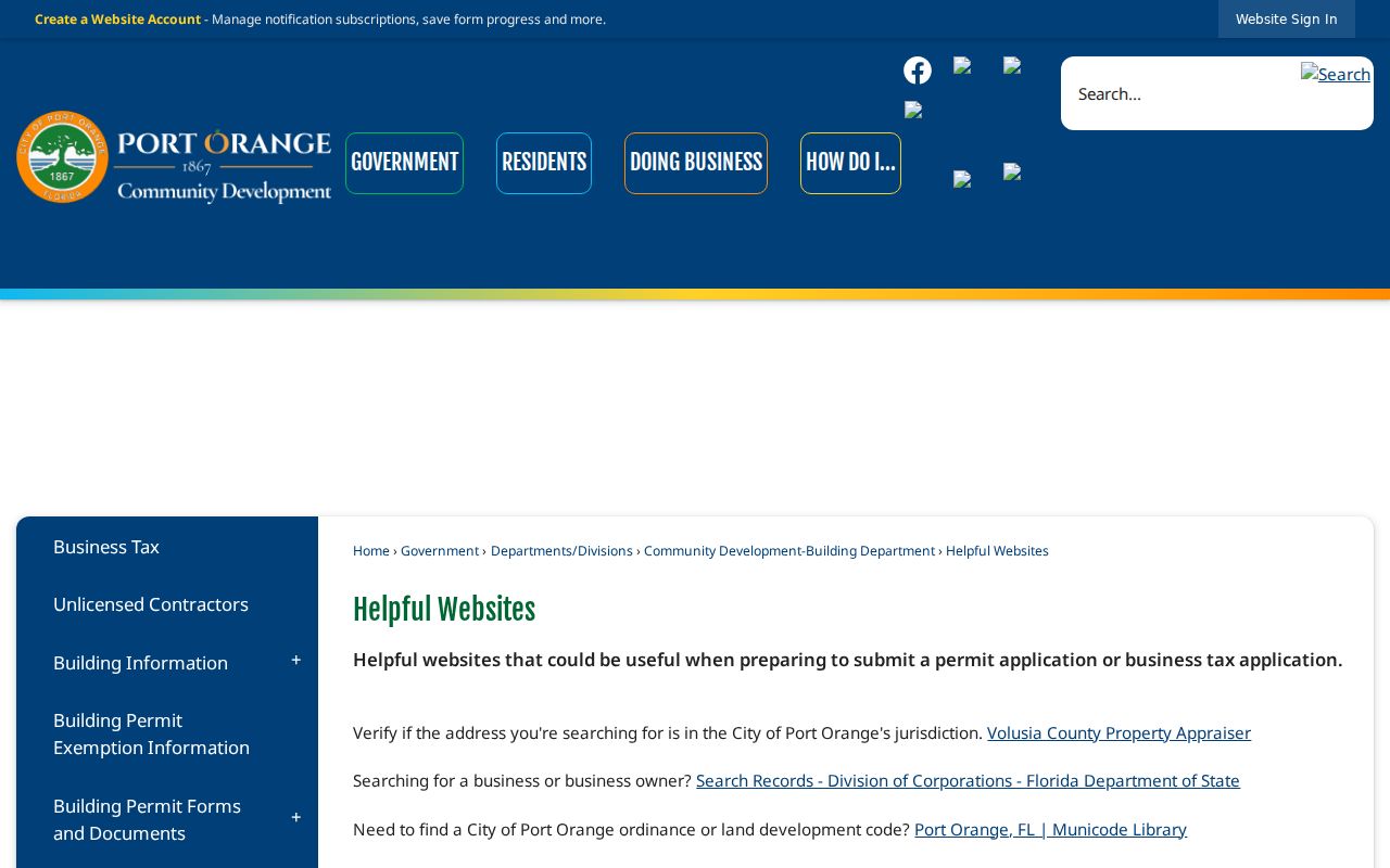
A postal label answers where mail is sorted and delivered. Incorporated status answers which city government serves a parcel. The mismatch matters for permits, code files, taxes, and record requests. Port Orange's Helpful Websites page specifically tells permit applicants to check VCPA jurisdiction.
The captured city resource points users toward the official address and jurisdiction tools.
Annexed places such as Harbor Oaks and Allandale make the time dimension important too. An older county file may remain with Volusia even when today's parcel is inside Port Orange. Determine jurisdiction on the date of the record.
Boundary check. A Port Orange ZIP does not prove incorporation. Confirm the parcel and taxing city before requesting a municipal file.
Port Orange Address Verification Order
Four official tools answer four different questions. Start with the narrowest question and preserve the exact identifiers each custodian returns.
- USPS: confirm deliverability, postal city, ZIP, and ZIP+4 for a full address.
- VCPA: confirm situs, owner mailing destination, parcel identifiers, and taxing geography.
- GIS: view the city boundary and planning or zoning layers around the parcel.
- Permit system: use SmartGov for incorporated Port Orange or the appropriate county route after jurisdiction is settled.
The Volusia GRM map searches address, tax parcel, or street and displays planning layers. Copy the official AltKey or short parcel ID exactly. A legal description can bridge sources more reliably than a neighborhood label.
Read Port Orange ZIP Terms
Postal and parcel terms look similar but should not be substituted. This glossary keeps the Port Orange ZIP code directory tied to what each field truly means.
- ZIP code
- A USPS mail-routing area, not a city or county boundary.
- ZIP+4
- The basic ZIP plus four digits that narrow delivery to a segment, building, or box group.
- PO-box ZIP
- A code used for post-office boxes rather than a mapped residential parcel zone.
- Unique ZIP
- A code assigned to one high-volume organization. No unique Port Orange ZIP was documented here.
- Carrier route
- A postal delivery sequence within a ZIP, not a public household roster.
Planning districts are separate again. The Town Center CRA has Riverwalk, Causeway, Down Under, Dunlawton Village, and Ridgewood Avenue districts across 300 parcels and 271 acres. Those names do not subdivide ZIP codes. Platted subdivision and millage codes are better bridges among tax, deed, and map systems.
Port Orange ZIP Directory Limits
Official sources do not document a dated ZIP realignment in the research, and registration statistics are organized by precinct and party rather than a public resident count per ZIP. A sound ZIP code directory says so. It also avoids turning a property-owner export into a claim about occupancy.
Eastern Port Orange has a tighter grid around the Halifax River and US 1. Western areas spread through subdivisions, I-95, Williamson Boulevard, and Airport Road. That settlement history explains why equally sized postal searches can produce very different parcel patterns. It does not change the legal boundary.
Use ZIP geography to narrow a search, then verify the person or parcel in the record built for that question. Keep protected voter data blank, respect confidential addresses, and never use public information to stalk or harass anyone.